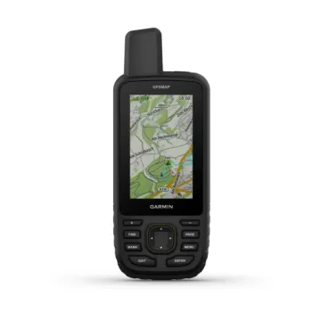
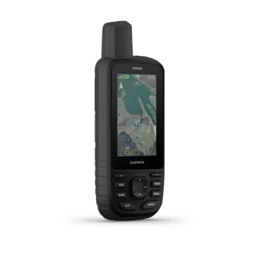
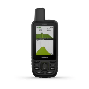
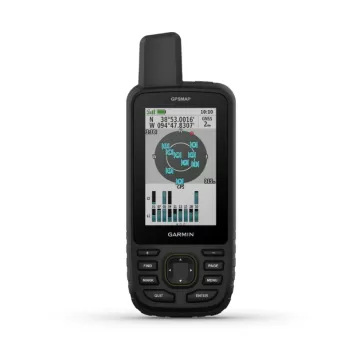
×

Cart

Subtotal:
Garmin Coach - твојот бесплатен персонален тренер - линк  

GARMIN GPSMAP 67

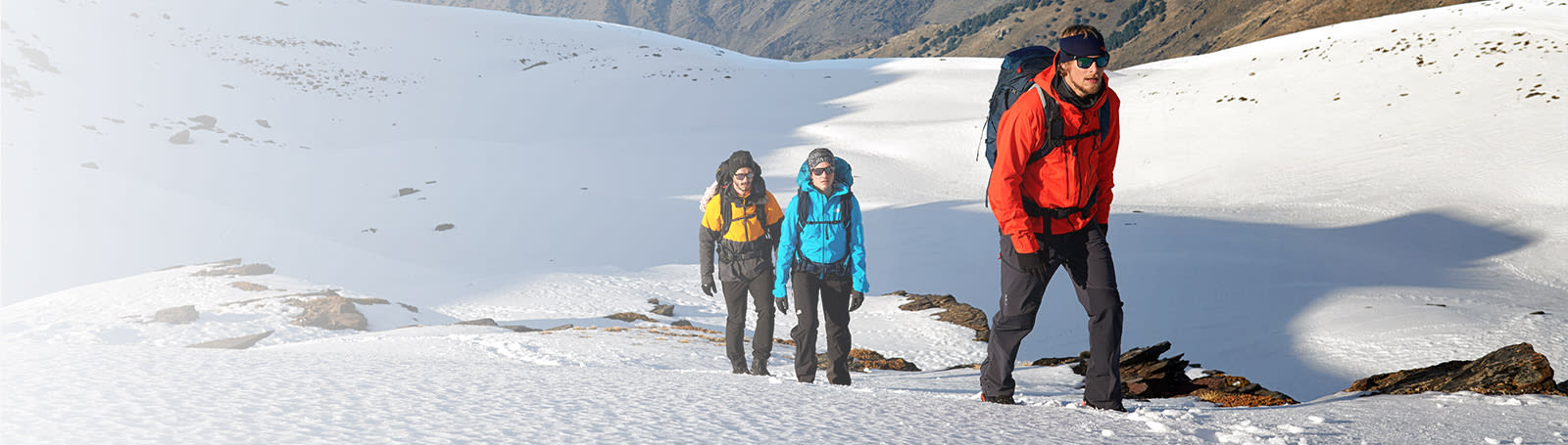
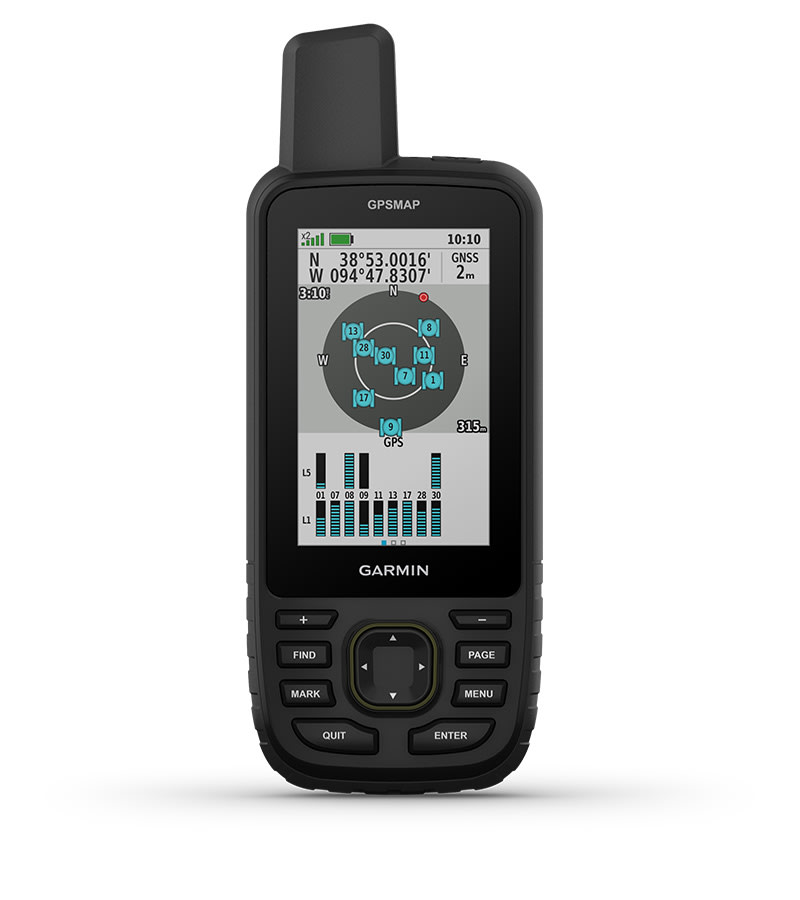
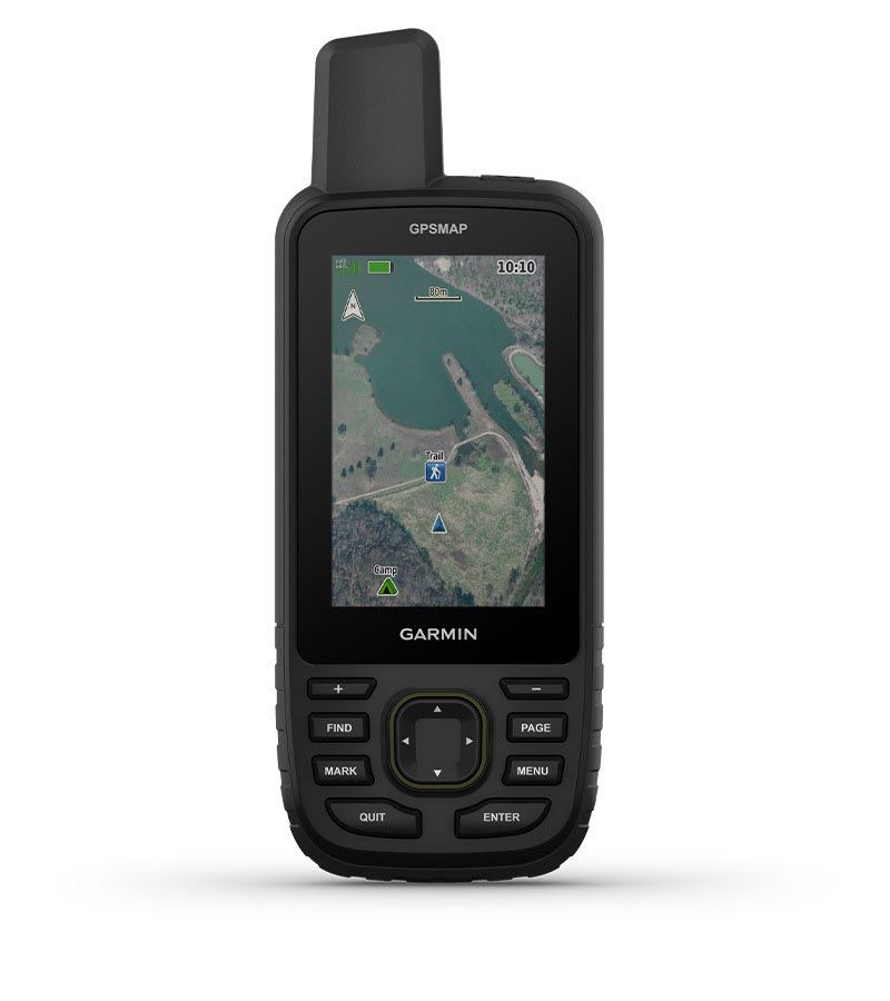
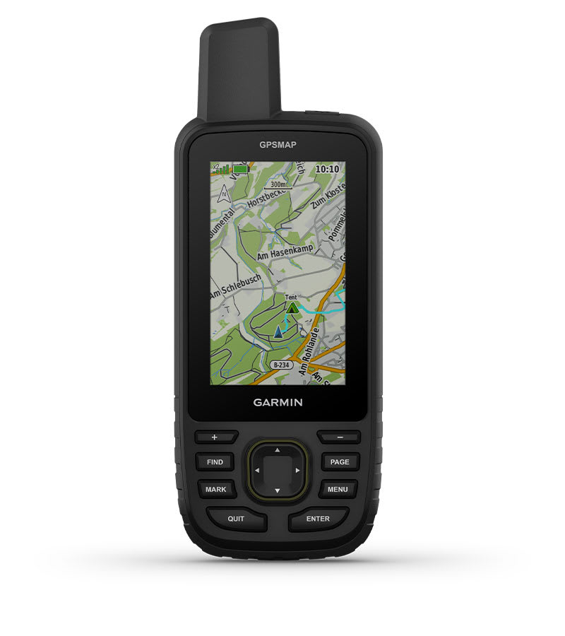
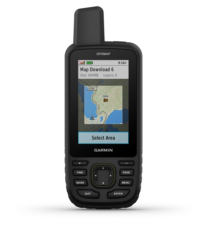
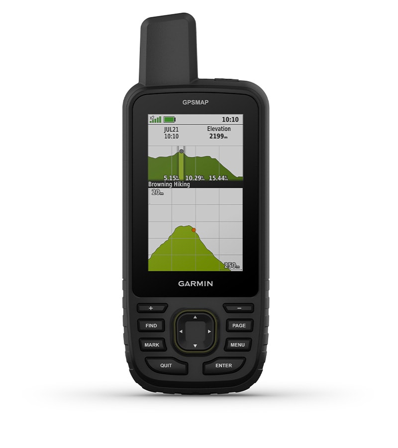
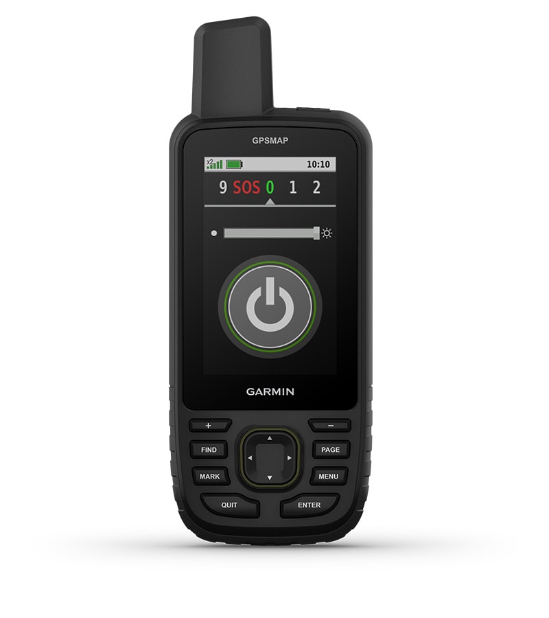
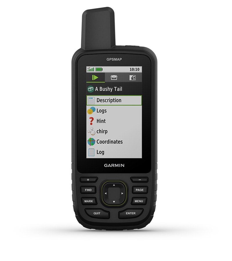
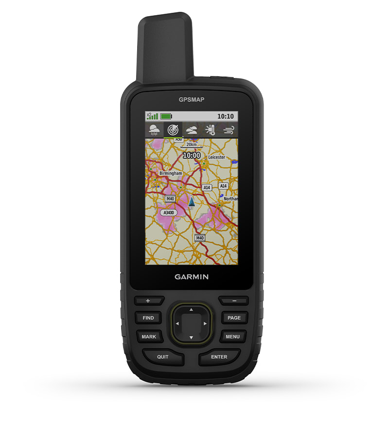
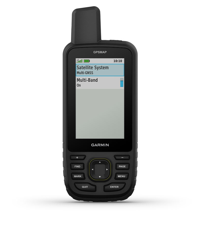
Одвојте време за вашите авантури и истражете ја природата со робусниот GPSMAP 67. Благодарение на долгото траење на батеријата, мултифреквентниот прием за прецизно позиционирање и претходно инсталираните карти на TopoActive Европа, вие сте оптимално опремени.

34.080 ден.
Достапност : Бесплатна достава во Македонија. Рок за испорака 1-3 работни дена.

DISCOVER THE WORLD

Take time for your adventures and explore nature with the robust GPSMAP 67. Thanks to a long battery life, multi-frequency reception for precise positioning and pre-installed TopoActive Europe maps, you are optimally equipped.

The 3-inch color display is easy to read even in sunlight, so you can see your route clearly.

Stay on the go longer with up to 180 hours of battery life in tracking mode and up to 840 hours in expedition mode.

Thanks to several global satellite systems and multi-frequency reception, your positioning is absolutely precise.

See the terrain of your route on clear satellite images downloaded directly to your handheld device.

Stay informed about the conditions with real-time weather forecasts. Simply pair the device with your compatible smartphone.

Discover new favorite places.

MULTI-FREQUENCY RECEPTION

Use multiple global satellite systems (GPS, GLONASS, Galileo and QZSS). Access different frequencies to increase positioning accuracy in areas where GNSS signals are bounced, weak or usually unavailable.

ABC SENSORS

Navigate any trail with ABC sensors, including an altimeter for elevation data, a barometer to monitor the weather, and a 3-axis electronic compass.

SATELLITE IMAGES

Download high-resolution, photorealistic satellite images directly to your GPSMAP via Wi-Fi. Easily find trails, search for parking, create waypoints and more

TOPOACTIVE EUROPE MAPS

Pre-installed TopoActive Europe maps show you where peaks, parks, coastlines, rivers, lakes and geographical points are located.

PREMIUM CARD FEATURES

With an Outdoor Maps+ subscription, you get access to public land information, landowner names, state zoning maps, hunting management area boundaries, BLM boundaries, and more 1 .


On the road for days.

MADE FOR EVERY ADVENTURE

This handheld device is designed to military standards (MIL-STD-810) for thermal performance, shock resistance and water resistance and is even compatible with night vision goggles.

LED FLASHLIGHT

The GPSMAP 67 series helps you keep your equipment to a minimum. One example is the integrated LED flashlight, which can also be used as an auxiliary beacon.

GEOCACHING - FIND THE TREASURE

Get automatic cache updates from Geocaching Live, including descriptions, logs and tips. Every geocache you find is uploaded to your Geocaching.com profile via Wi-Fi or the Garmin Explore  smartphone app .

INDIVIDUAL WEATHER DATA

When connected to the Garmin Explore smartphone app, you can view real-time weather forecasts so you always know when conditions are changing.

GARMIN EXPLORE  APP

Use the Garmin Explore website or app for navigation, waypoints, courses, activities and collections. Plan your next trip by downloading maps and creating routes. You can even view completed activities on the go.

LONG BATTERY LIFE

The integrated lithium-ion battery provides a runtime of up to 180 hours in GPS mode and up to 840 hours in expedition mode.

TestVar id: 67 userid: 17 name: GARMIN etrex 32x Topo VIP: 0 cat: 46 subcat: 3 subsubcat: 0 manufacturer: model: status: 1 image1: 17_2024_98551714007379.webp image2: image3: image4: image5: image6: image7: image8: image9: image10: image11: image12: short_description: <h3>Explore confidently with the reliable handheld GPS</h3> <ul> <li>2.2” sunlight-readable colour display with 240 x 320 display pixels for improved readability</li> <li>Preloaded with TopoActive Europe maps with routable roads and trails for cycling and hiking</li> <li>Support for GPS and GLONASS satellite systems allows for tracking in more challenging environments than GPS alone</li> <li>8 GB of internal memory for map downloads plus a microSD<sup>™</sup> card slot</li> <li>eTrex 32x adds a 3-axis compass and barometric altimeter</li> <li>Battery life: up to 25 hours in GPS mode with 2 AA batteries</li> </ul> description: <div> <iframe src="https://www.youtube.com/embed/dxPZaeF1eP0" width="700" height="394" frameborder="0" allowfullscreen="allowfullscreen" data-mce-fragment="1"></iframe> </div> <div> eTrex 22x and eTrex 32x offer the same ease-of-use, durability and affordability that the eTrex handheld GPS series is known for — along with preloaded TopoActive Europe maps. These devices are perfect for quad bikes, bicycles, boats or hiking. <h3>See the way</h3> eTrex 22x and 32x offer enhanced 2.2”, 65K colour, sunlight-readable displays. Durable and water resistant, these handhelds are built to withstand the elements. <div class="row top-m bottom-m"> <div class="span12"> <h3>Explore the terrain</h3> The eTrex 22x and 32x handheld devices come preloaded with road-routable TopoActive Europe maps that feature streets and trails so you can take the journey off the grid. Now you can know your surroundings — such as waterways, natural features as well as buildings, international boundaries and more. You can also find thousands of points of interests, including shops, restaurants, universities, car parks and accommodations. </div> <div class="span6"><img src="https://static.garmincdn.com/en/products/010-02256-01/g/eTrex22x_SS_9007-f7e9cef2-39f6-48e3-9c86-ad22de47ac79.jpg" alt="" width="220" height="" border="0" /></div> </div> <div class="row top-m bottom-m"> <div class="span12"> <h3>Keep your fix</h3> The eTrex series uses both GPS and GLONASS satellite systems so the receiver has the ability to track in more challenging environments than GPS alone. eTrex 32x adds a 3-axis compass and barometric altimeter, making it easy for you to keep your bearings. </div> <div class="span6"><img src="https://static.garmincdn.com/en/products/010-02257-01/g/eTrex32x_HR_1002.2-90cdde02-85e0-4740-b1ce-e8b958faaa46.jpg" alt="" width="250" height="" border="0" /></div> </div> <h3>Add maps</h3> With a microSD card slot and expanded 8 GB of internal memory, you can easily download additional maps for wherever the adventure takes you. <h3>Satellite imagery</h3> Both devices support <a href="https://buy.garmin.com/en-GB/GB/p/70144">BirdsEye Satellite Imagery</a> (subscription required), so you can download and integrate satellite imagery with your maps. <div class="row top-m bottom-m"> <div class="span12"> <h3>Find fun</h3> eTrex 22x and eTrex 32x support paperless <a href="https://buy.garmin.com/en-GB/GB/c12521-p1.html">geocaching</a>. Upload GPX files straight to your device, and view key information such as location, terrain and hints from <a href="http://www.geocaching.com/">Geocaching.com</a>. </div> <div class="span6"><img src="https://static.garmincdn.com/en/products/010-02257-00/g/etrex32x_pride_01-02d4fe87-06b2-439c-b020-81388d408521.jpg" alt="" width="250" height="" border="0" /></div> </div> <h3>Go anywhere</h3> With an array of compatible mounts, eTrex is designed as an outdoor handheld GPS ideal for use on quad bikes or bicycles, in boats or on foot. Use the auto mount capability and <a href="https://buy.garmin.com/en-GB/GB/c452-c454-c496-p1.html">City Navigator® NT</a> maps for turn-by-turn driving directions, or use the rugged mount for your motorcycle or quad bike. Wherever you think you might take eTrex, it has the mapping and mounts to get you there. </div> characteristics: meta_title: meta_keywords: meta_description: url: measure: order_by: 0 date_created: 2024-10-14 15:55:14 width: profile: diameter: fuel_efficiency: wet_grip: noise: image: 17_2024_98551714007379.webp price: 17980.00 price2: 0.00 item_id: 65

Слични продукти