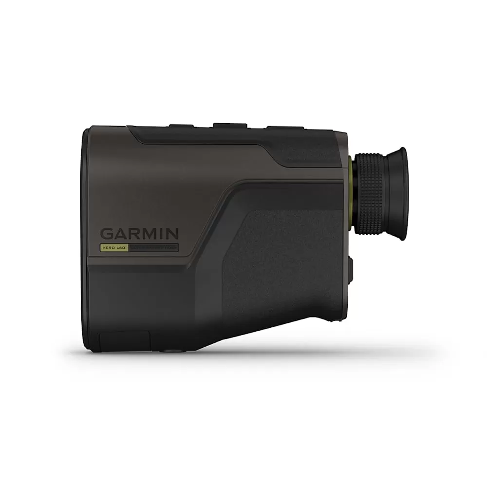
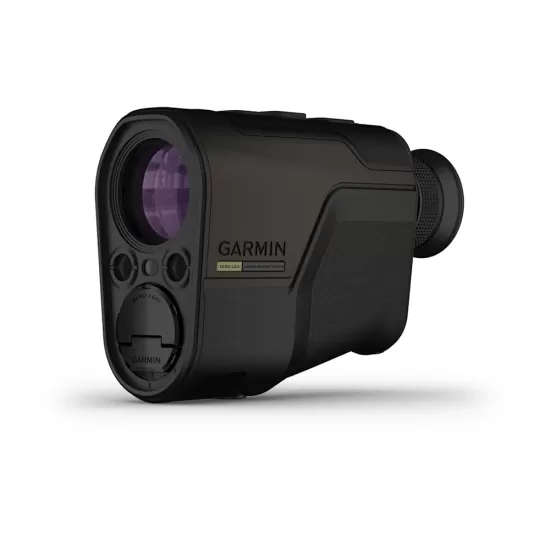
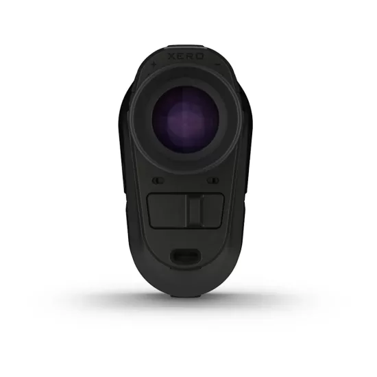
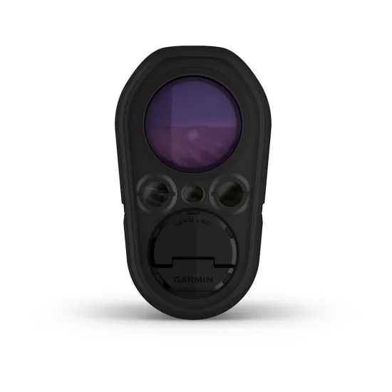
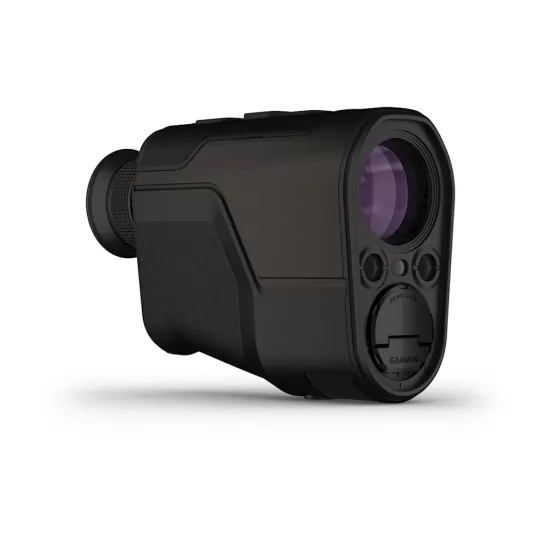
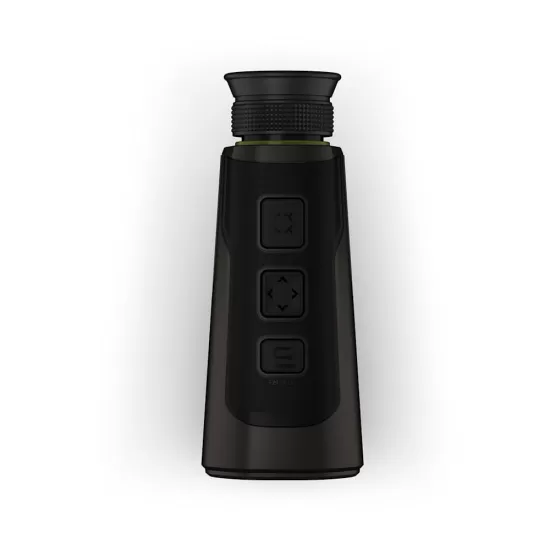
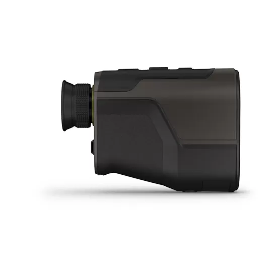
СЛЕДЕТЕ ГИ РАСТОЈАНИЈАТА И МНОГУ ПОВЕЌЕ
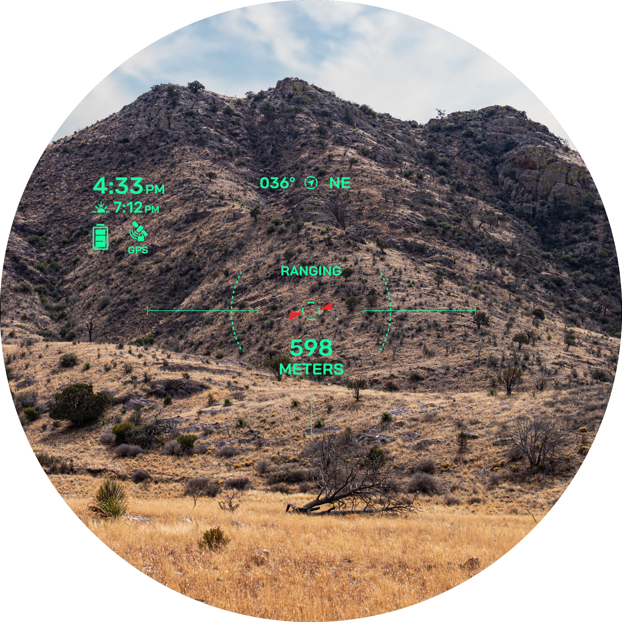
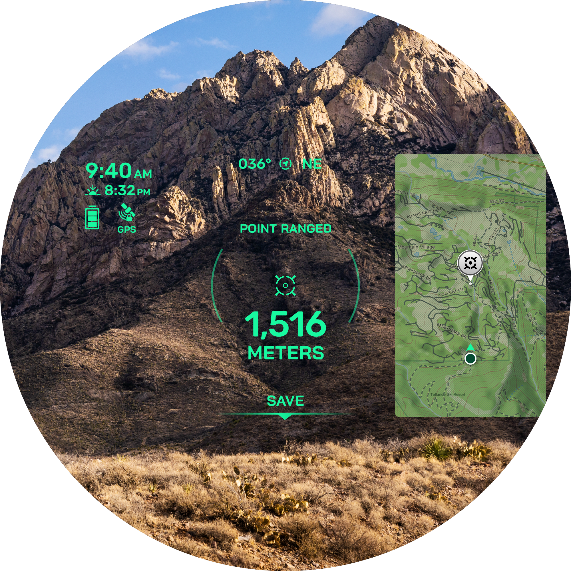
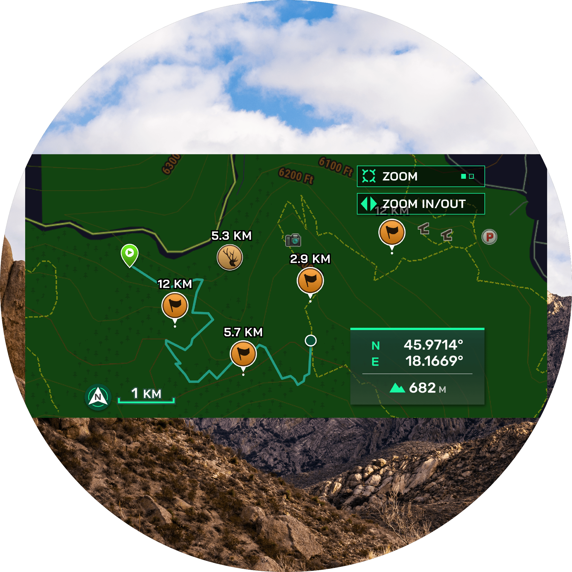
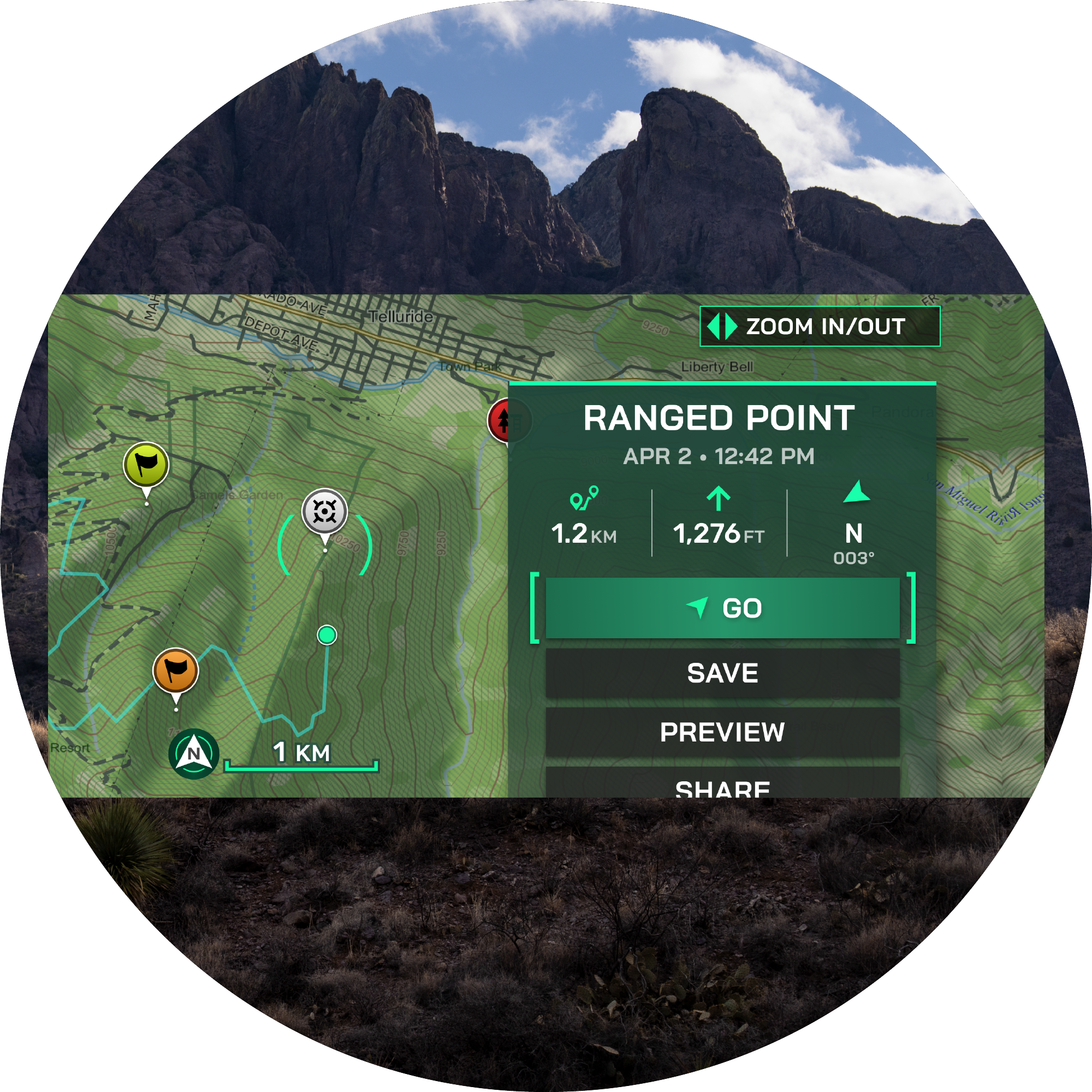
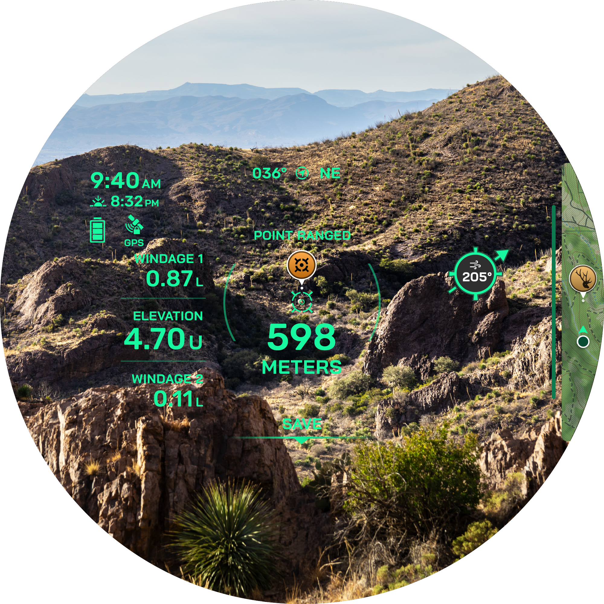
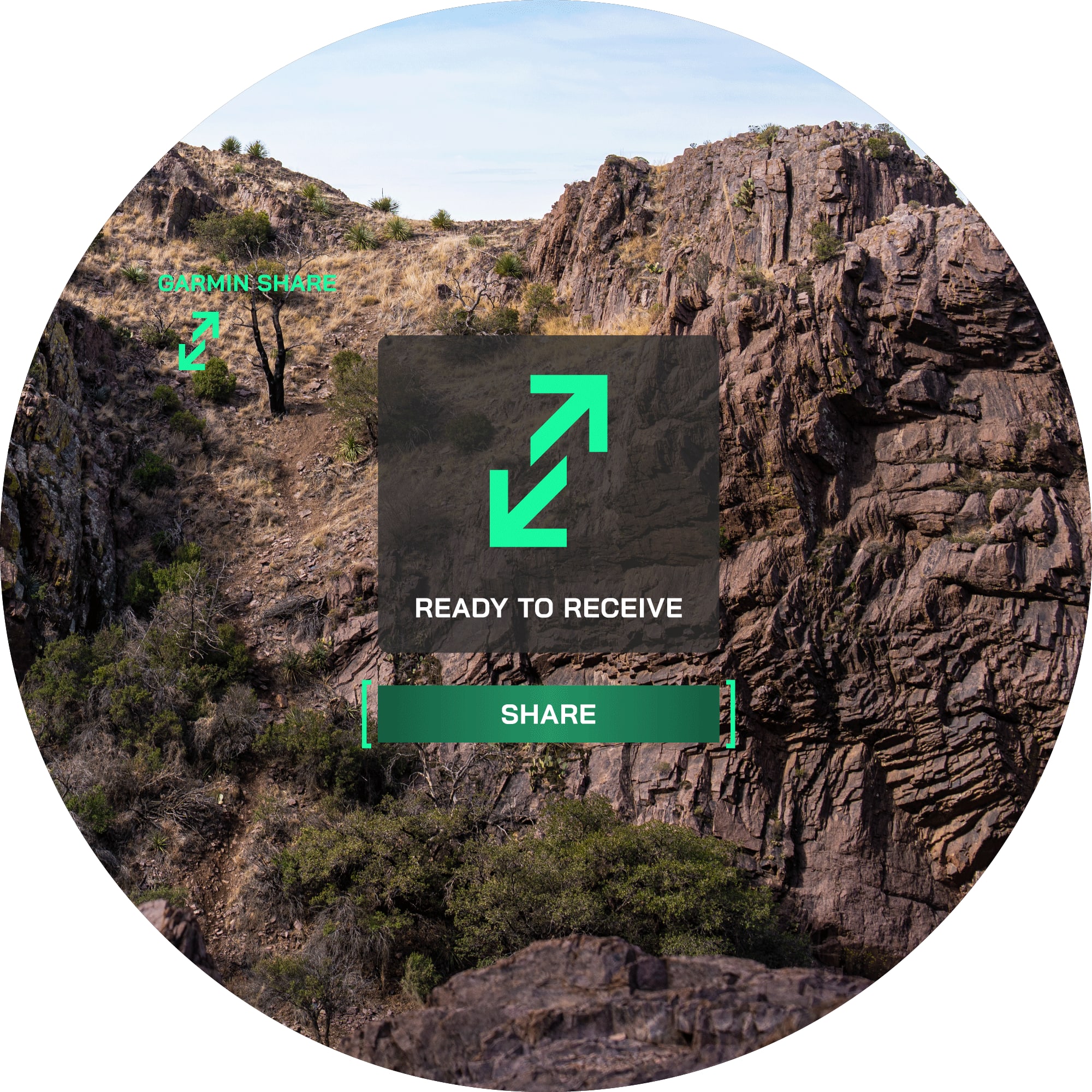
Моќниот ласерски должиномер Xero® L60i комбинира висококвалитетна оптика со напредна GPS технологија и модерни сензори за супериорно мерење на растојанија. Графичкиот преклоп во боја со висока резолуција ги прикажува растојанијата, мапите, навигацијата и многу повеќе со кристална јасност.
SKU : 010-02691-01
y
HIGH-RESOLUTION, GRAPHIC OVERLAP IN COLOR
HIGH-QUALITY OPTICS WITH 7X MAGNIFICATION, 32MM LENS AND RIMLESS, CLEAR DISPLAY
Measure the distance to trees up to 1,800 meters and to animals up to 1,375 meters away – even further with the sensor location function.
SET A GPS WAYPOINT ON MEASURED OBJECTS WITH LASER LOCATE™
Use visual retrieval to find an object whose distance you have measured and navigate there using the map.
Use the 7x magnification to measure the distance to trees up to 1,800 meters away and to animals up to 1,375 meters away. In optimal lighting conditions, you can even reach distances of up to 5,000 meters to retroreflective objects. Learn more
The high-resolution, color graphic overlay displays distance, position, maps, ballistics, navigation, and much more with crystal clarity. Learn more here
When viewing through the product, let the graphic overlay and integrated TopoActive maps guide you to waypoints you've set. Stay oriented with a 3-axis compass and view elevation profiles of your route. You can even see your position from above in the graphic overlay
Use advanced GPS technology and modern sensors to place a waypoint on an object you've measured with the Laser Locate waypoint projection feature. With the Sensor Locate feature, you can even project a waypoint beyond measurable distances. If you lose sight of an object while walking towards it, the visual recall on the graphical overlay will guide you back to its position. Learn more here
Access the integrated Applied Ballistics Ultralight calculator via the AB Quantum app. It provides the necessary data for a perfect shot. For archery, it also outputs ballistic data for the arrow, such as maximum arrow height, angle-corrected distance, and much more
Send waypoints or data to your compatible smartphone and then share them with your compatible Garmin product. Now you can zoom in on the point without using the graphical overlay. Spotted something, but your companion can't find it? Share waypoints with their compatible products. Learn more here .
Navigate with integrated TopoActive maps
View your position on the graphic overlay from a bird's-eye view
Display the elevation profile to your destination on the graphic overlay.
Use Laser Locate to set a waypoint on objects or positions to which you have measured the distance.
Project a waypoint outside the laser range using Sensor Locate
This function provides precise and accurate distances by validating signals from features
Experience precise color fidelity and excellent light transmission
Automatic controls for display brightness ensure optimal performance in low light
The visual recall on the graphic overlay can guide you back to a previous waypoint if you wish to go there
Have you spotted something your group can't find? Use visual recall to share an animal's location from a distance
This rangefinder withstands harsh outdoor conditions with an IPX7 water resistance rating